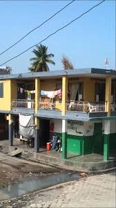
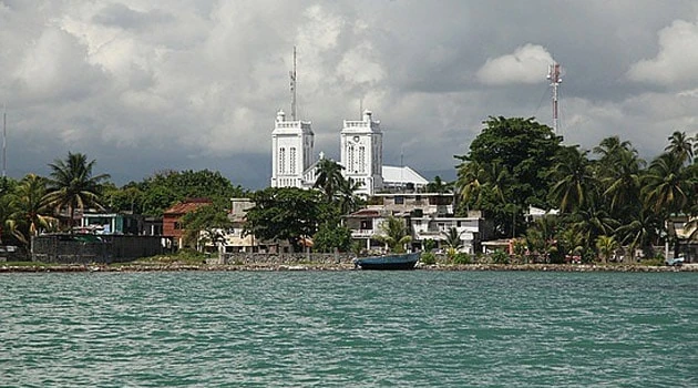
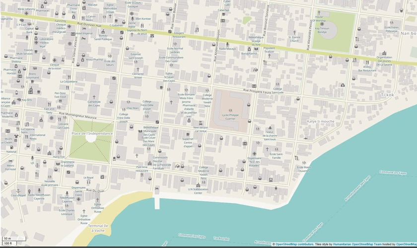
Ville des Cayes, or Downtown Les Cayes, is an urban city center, based around the Central Business District of Les Cayes, Southern, Haiti. In addition to the central business district, the area also consists of Carrefour Boyer, Carrefour Quatre-Chemins, Presqu'ile des Icaques and Place l'Independence. The neighborhood is divided by Avenue Cartegena and is bordered by Avenue des Quatre Chemins to the north, Rivière Islet to the east, Les Cayes Bay to the south, and the South Ravine to the west.

Ville des Cayes
Rue Capitale and Avenue des Quatre-Chemins are the main north-south roads, and Avenue Cartegena is the main east-west road. The neighborhood is defined by the IHSI as the 8.98 km2 (3.5-square-mile)-area south of Route Nationale 2 between the South Ravine to the west and Islet River to the east.
Avenue Cartegena
Ville des Cayes
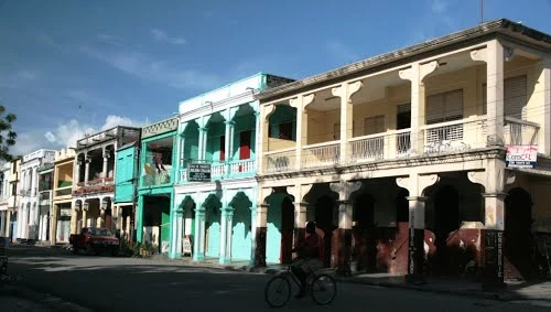
Locally known as Downtown, the area the a cultural, financial, and commercial center of Southwestern Haiti, tracing its present-day history back to the 16th century. In recent years, Downtown Les Cayes has grown and physically expanded to become one of the fastest-growing areas in Haiti, with increases in population and the greatest concentration of households in the region. Greater Les Cayes is home to museums, parks, education centers, banks, company headquarters, courthouses, government offices, theaters, shops and some of the oldest buildings in the country.

History[]
The city of Les Cayes was the capital of the departmental government of the South, during the division of South and West, proclaimed by General André Rigaud, from 1810 to 1819, and the capital of the southern state of Haiti during of the Cacos civil war against President Salnave.
The engineer who traced the city of Les Cayes between the mouths of the rivers of Islet and the South Ravine, must undoubtedly have engaged in the contemplation of laughing prospects on the future of the city. The freshness of the lawns lining the ground, maintained by abundant waters which could be distributed profusely in all the districts; the immediate neighborhood of the vast and rich plains of the Fond, which invited work and pleasure; a fair anchorage at a cable-length from the shore, all promised happiness and prosperity to the new city that was to rise.
The O'shiell habitation on which the necessary piece of land had been taken was, like all this soil, wet, dotted with lagoons and swamp. The rush grows there, as elsewhere in the mangrove, but many intelligent channels had cleansed the neighborhood, and the waters that flowed through these channels refreshed the atmosphere.
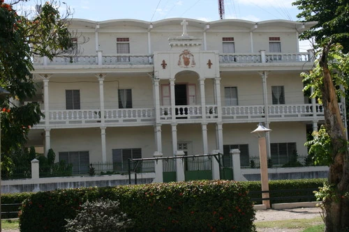

Archdiocese of Les Cayes
Les Cayes, under this burning climate, was destined to be a basket of flowers and greenery. It iss reached by a beautiful causeway (the Quatre-Chemins), bordered by two streams which, gathered under the bridge of entrance of the city, were going to unload into the South Ravine, at the end of the street of the Bridge. These streams absorbed the produils from the numerous springs of the surroundings, as well as a small stream that crossed the canes of the O'shiell habitation.

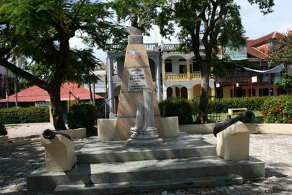
Statue of Nicolas Geffrard
The route of the city is due to the engineer Phelipeau who left very good topographical work on the country. It dates from 1786. The city has changed a lot since then, in the northwestern part, the perimeter, which lies between the old palace and the Gombeau bridge, the city has extended and crossed the river. This bridge, as well as that of Commerce, connect the new district to the primitive city. On the north side of the harbor, the sea has given way to new constructions, abandoning fairly flat terrain. We can still see the remains of the old battery of the royal place whose waves came to beat the foot. These ruins are visible in the street that borders the south of the Place d'armes. On the other hand, the sea pierces every day deeper into the Anse de la Touterelle (Turtledove Cove).

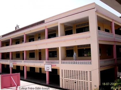
College Frere Odile-Joseph

• The site of the old title Salve Tierra de la Zabana, founded in 1503 by Ovando, and abandoned in 1606, is Le Fond, a plain located in the vicinity of Les Cayes. The plain produced tafia, rum, syrup, pottery, and cattle. It is contiguous to the Jacob Plain. -
• In 1792, the mountain slaves of the Platon rose against the French and, having at their head one of theirs by the name of Armand, occupied formidable positions along the plain of the Fond.
• In 1803, the French beaten at the Thomas Quiny (also called T. Quenille) were pursued by Thomas Duroche until the Lacombe plantation, where they rallied to General Darbois.
The deputies sent by the city of Jeremie, on February 5, 1843 near General Borgella in Cayes to tell him the reasons for the revolution, spent the night at Thomas Quiny. As they were resting from their fatigue, a detachment arrived from Camp-Perrin who woke them up with cries of: 'In the name of the law, you are prisoners, surrender your weapons.' The officer stepped forward and the soldiers crossed paths with the bayonet. Immediately, their weapons were seized: they were made to march; they returned the packages they were carrying. At two o'clock in the morning, they arrived at Camp-Perrin where General Riche was in command. The next day, General Borgella had them put in dungeons.
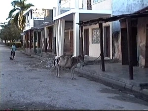
Site Chalvire - SW Downtown Les Cayes

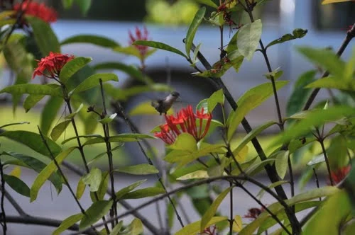
Natural flora

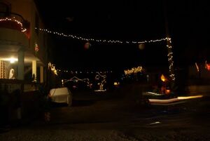
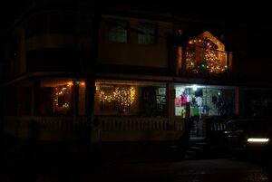
Noel aux Cayes
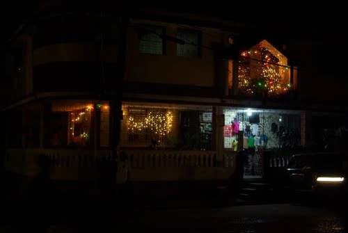
Noel aux Cayes